Lidar 101
A lidar sensor scans a laser beam across a distant scene, measuring distance at each point. Millions of such measurements are combined to form a 3D point cloud which can be manipulated by an analyst just like a 3D CAD model.
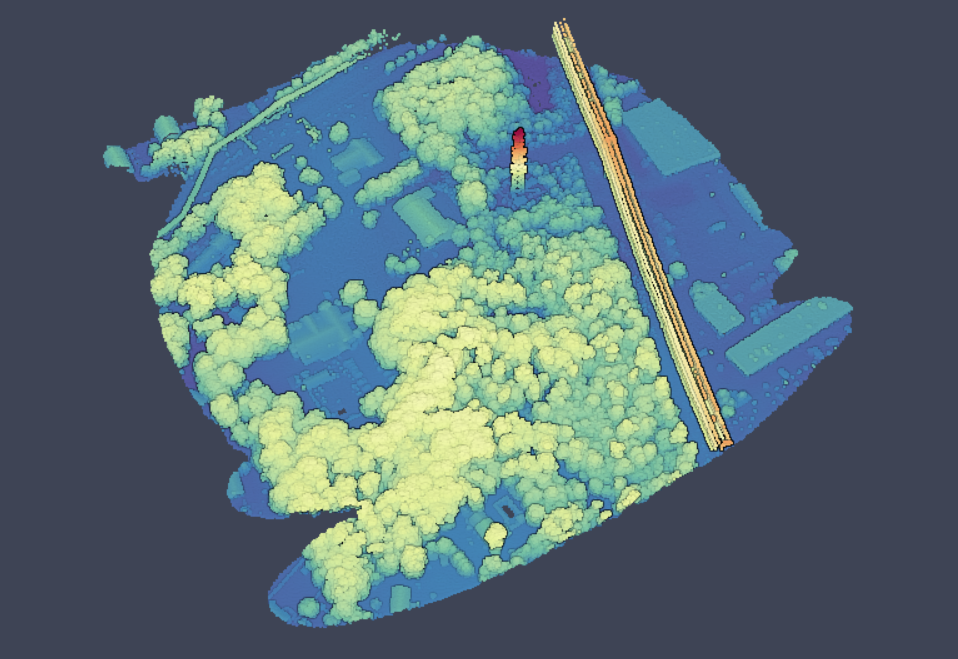
Get a feeling for 3D points clouds in our imagery gallery and Youtube channel.
Lidar has diverse applications beyond 3D mapping as it exists today. The superior cost / benefit attributes of 3DEO®’s systems enable customers to unlock new applications, for which 3D data was formerly cost prohibitive.
Dale Fried gives an overview at the MIT Research & Development Conference on November 1, 2018, hosted by the MIT Industrial Liaison Program.
Here is the Boston movie from the presentation.
See also imagery.3deolidar.com
